Remove tools social-map
article thumbnail

Defining Open Data

GovLoop

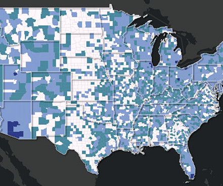
CDC Data Maps Illustrate Threat Impacts It’s often impossible to confine environmental and public health events to a specific jurisdiction, agency or area of responsibility. It is the first national geographical tool that measures — and releases to the public — cumulative environmental impacts and related public health vulnerability.

article thumbnail

How to Increase Accessible and Equitable Public Engagement

Social Pinpoint

Let’s explore how the City of Pittsburgh is using digital tools to create psychological safety, availability, and meaningfulness. We can use digital tools to move away from only project-specific engagement We need to adjust our strategies for key drivers of equitable engagement in digital+ settings. Data is powerful but hard to use.

Insiders

Sign Up for our Newsletter

This site is protected by reCAPTCHA and the Google Privacy Policy and Terms of Service apply.

article thumbnail

Massachusetts Citizens Take Their Local Temperatures

GovLoop

More than 60 Massachusetts communities have mapped their hot spots. Boston’s Museum of Science (MOS) partnered with community organizations, including the Resilient Mystic Collaborative, Mystic River Watershed Association (MyWRA) and Metropolitan Area Planning Council, using tools from CAPA Strategies. Take advantage of existing tools.

article thumbnail

5 Fun and Interactive Community Engagement Examples to Boost Participation

Social Pinpoint

Photographers of all skill levels were enthusiastically encouraged to participate in this competition and contribute their entries via a Gather tool. City of Canada Bay’s Love Local Social Map 3. Sunshine Coast Council Macropod Map Sightings 5.

article thumbnail

Five Placemaking Projects that Empower Community Engagement

Social Pinpoint

Wyndham has since released the draft of the Woodville Place Plan and has encouraged locals to participate through different engagement tool methods. For instance, by utilizing the Form tool, Wyndham asked residents to read and submit their feedback on the plan. City of San Diego | Balboa Park Priortization Framework 5.

article thumbnail

Maximizing Underused Hospital-Owned Land for Affordable Housing

The Stoop (NYU Furman Center)

Interactive Map of Hospital-Owned Properities in New York City Users can explore detailed information on New York City’s health- and hospital-owned land, including filterable criteria on zoning and lot size that might help identify potential development opportunities. With an extremely low 1.4

Housing 113
article thumbnail

A deeper look into the 2022 ASDI Global Hackathon’s first place winner

AWS Public Sector Blog

This work originated in the Earth sciences and brings together ideas from scientific data repositories, content management systems, wikis, and visualization tools. My goal with RAMADDA is to provide a simple-to-use tool that allows a user to effectively create, organize, and share information and data.

2022 83